The sun didn’t hit my tent for real until almost 7, but I was already awake. I was headed back up to the ridge before 8. The first several miles would be more of the same kind of hiking that ended the previous day, climbing up and down the steep hills along the divide fence. Some climbs I could cut off if the trail turned. Some had trails cut around them, though not often.
Around 10:30, at my second break, I dropped my pack and carried my filter bag some quarter mile down the hill to the only reliable water source I would pass all morning. I carried more water than I needed up that slope, but there was no avoiding the climb–I was out of water, having used all but the last of it for breakfast. I drank a liter of it right away, inventing a fruit punch lemonade combination for the flavor.
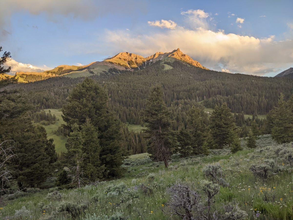
I decided to cut around the side of the next peak, carefully picking my way along the rocks of the steep slope. I surprised some deer directly below and watched them hop away when they decided I was no good.
I stopped again in the shade of a tree around the other side. I learned that the soil was soft and deep enough and free enough of rocks on that slope that I could dig a tubular hole some foot down with no issue and allow the ground around it to serve as a comfortable grassy toilet seat, something I’d never been able to do before.
A couple of even longer and steeper climbs followed, and I thought I could avoid the steepest part at the very top with a cut trail that seemed to go around the side, but that trail ended only a third of the way around. Rather than backtrack, I picked my way over rocks and through thick sagebrush to the downward slope on the other side. In the end, it might have been faster just to do the steep climb, but if the CDTA wanted to cut a diversion, it’s a good place for it.
There was also a raincloud somewhere around this section, fat raindrops splashing slowly and sporadically into my mouth and near my eyes on a couple of occasions. But it was just one cloud, so I didn’t react.
I took lunch in front of a larger rock (for the area) just after finishing this bushwhack. It looked like I didn’t have too much more of this kind of ridgewalking that had consumed the majority of the day. In fact, all that was left was one more climb before I could divert onto the long side ridge that descended down to Shineberger Creek. The trail temporarily left the divide in order to connect to the Sawmill Trailhead and grant easier access to water. It entailed losing a thousand feet of elevation in a mile and a half. I took it very slow because a descent that steep is hard on the knees.
At the end of the ridge, I had to cross the creek a couple of times while working my way to the end of the valley. When I got to the part where the trail starts climbing to crosswise to the ridges and continue west, I stopped under a tree instead. I sat right where I knew I would get sap stuck to my shorts and didn’t care. I needed a break. And I ate a lot of snacks, sitting for well over half an hour.
Eventually, I brushed my shorts off and kept going, up and down, over low ridges and across creeks. My new waterproof shoes kept my socks dry in the latter. An hour later, after a longer climb, I found a nice sitting log to make dinner, a task I fit into well under an hour, before continuing down to Sawmill Creek. I lost the trail a little bit where it made a sharp turn in the marshy source area for same creek, but went the other way and found it easily enough.
I stepped through the creek, then dropped my pack to scoop up some water, but strapped it on my pack without filtering. I could see a car parked at the trailhead up the hill, and that was an opportunity.
Ezra and Grace of Missoula were out car camping in a cloud of mosquitos, but were happy to give a few minutes of charge to my phone while my water filtered. I only got like a 10% increase, but we did have a good chat. When the water was done filtering, I packed up and moved on.
Immediately after the trailhead, another steep climb began. I climbed until I gained the top of the ridge. It wasn’t the end of the climb. That continued for 2 more miles over a pass. But the sun was nearly gone, so that could wait until the morning. Right here was some close to level terrain I could sleep on, and so I did. The mosquitos had followed me all the way up the hill and swarmed as soon as I stopped, but the net and repellent kept them mostly at bay until I could fully hide from them inside my tent. They buzzed around just outside frustratedly even as I went to sleep.
Trail miles: 13.2
Distance to Leadore: 76.6 miles


spring seep 


deer 


