Since I got to bed so late, I had great reason to sleep a little later. I had my breakfast already ready to go, just my breakfast shake and some bars, but I figured I should get in one last shower too. At a bit before 10, I walked out to the southbound on-ramp to try to get a hitch to the trail.
It wasn’t working well. There weren’t enough cards, and even the ones that seemed like they would normally give rides weren’t. After an hour and a chat with a certain cyclist, I decided to call Mike at the Mountain View, having realized via some FarOut comments that I actually had his cell number in my contacts. (And that not realizing that and trying to use that number was probably the reason I had failed to reach the motel when trying to make a reservation there, but no use crying over spilled money.) I confirmed that they were doing shuttles and the next was at 11:30 and walked back to the little convenience store to wait the half hour at their strangely fenced lawn and picnic gazebo. I also bought a bag of cheetos and a banana to go with my breakfast shake as a sort of early alternate lunch.
At nearly 11:30, I found Monty in the shuttle car in the motel parking lot. (His truck had a leaky radiator.) I was the only hiker around, being much earlier than the thru-hiker bubbles in either direction. He said I was the fifth he’d driven this year.
He drove me down Modoc road, over the border into Idaho, and under the tunnel, then dropped me right on the other side. I had thought I would get dropped on the side of the highway two miles north, but he didn’t want me to have to jump the fence, and he clearly expected me to do the two mile road walk to where the road leaves the highway. I tipped him and started walking.
The sun was out and bright and warm. The road was long and straight and boring. And then it turned and started climbing slightly. It passed a rotting cabin and a barn that actually seemed to be in use. It crossed a small creek. There was no shade along the road itself.
After a steep drop off a plateau of sorts, I arrived at the CDT trailhead. A sign marked where the trail left the road. Here, I took a break in the shadow of the sign to take care of a hot spot where a slightly twisted sock had been rubbing my right pinky toe. I wrapped it in leucotape, drank a full bottle of water, ate a few snacks, and started climbing the old road track up to the divide.
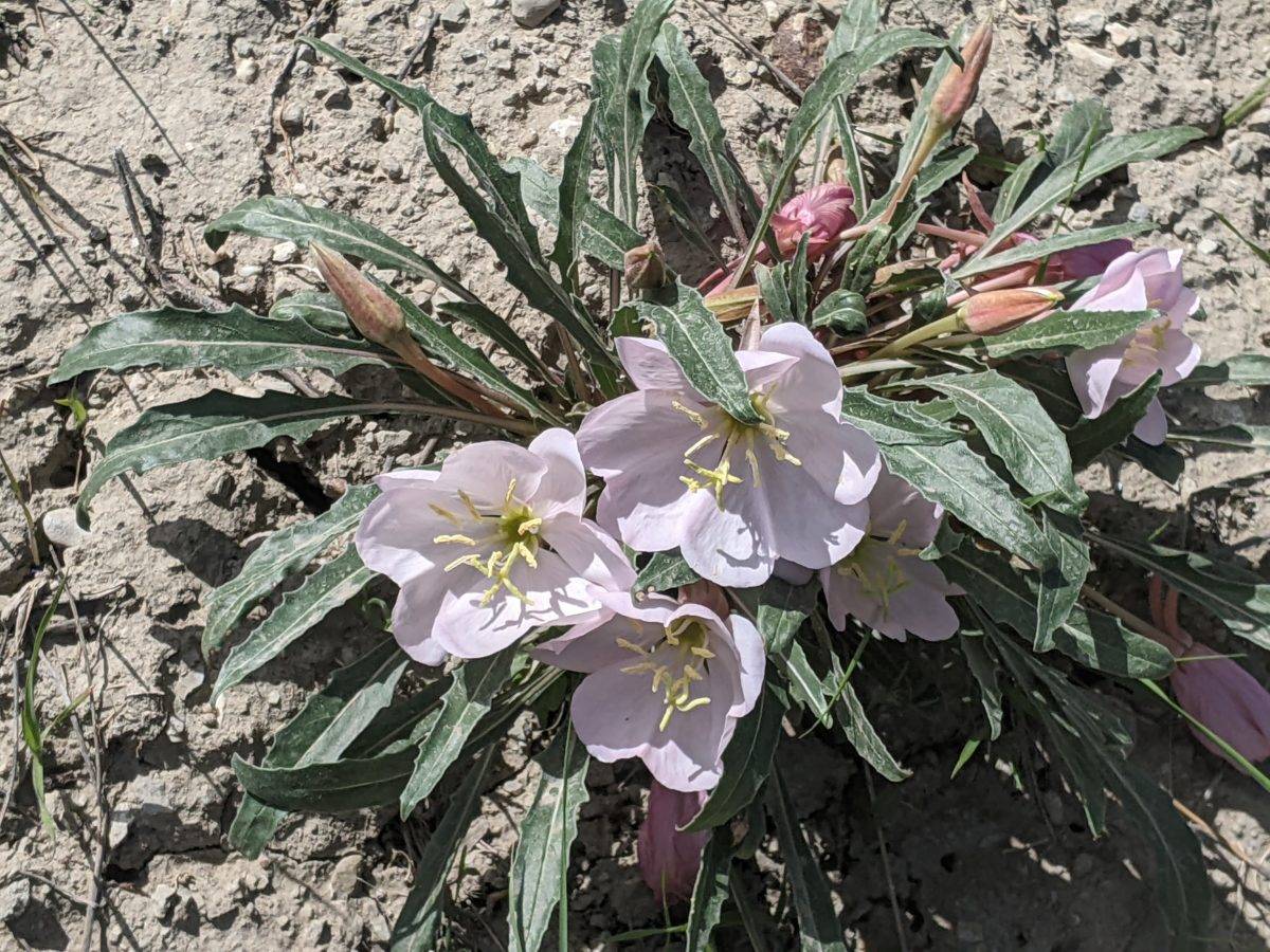
There was a faint hint at first of a road along the state border fence, but it was surely very overgrown. The trail wasn’t so much a track as a handful of small signs attached to the fence every mile or so. In short, the fence marked the trail, and the rest was up to me. I was walking along and on the wildflowers and occasionally through tough sagebrush bushes.
As soon as some afternoon clouds rolled in, I started getting swarmed by mosquitos. I had to stop and do a full repellent application and put on my citronella scented headnet. Mosquitos landed on the net right in front of my eyes for the entire climb, well into the evening, but I didn’t suffer any further bites.
Sometimes if it looked easier to walk on the other side of the fence, I’d step over the barbed wire in a spot where the fence had fallen over. Although the fence stayed right on the border, right on the divide, it was often easier to cut across a hillside to the next low point between peaks rather than climb the steep incline to the top. On average, though, I did gain around 1300 feet of elevation over the next four miles.
At one point a little after 6, there was a break in the fence next to a pile of unused fence posts. One of those sticking up slightly seemed as good a place as any to sit and make supper. It’s not like there were any large sitting rocks around for miles.
Finally, an hour after supper, the divide and trail made a 90 degree turn from south to east, and I could finally feel like I was making progress. Several miles of going up and down in a straight line gave the impression that nothing was happening. Also, the slow increase in elevation stopped. There was only the regular rolling up and down of the peaks themselves. I found a cut track, perhaps used by cattle, around the next peak, came over the shoulder of a ridge beside it, and worked my way back to the trail on the side of the hill before entering a steep descent into a low pass.
It was getting pretty late at this point. Sunset was minutes away. So I came down onto a small ridge jutting out over the canyon and set up my tent across its spine. It wasn’t very windy, but there was no wind protection available if it were. It got cold rapidly as the sun set, and my sleeping bag, unopened since I packed it up in the fog before Monarch Pass, now had the distinct sourdough scent of wild yeast. It also didn’t seem warm enough, so I wore my warm jacket to bed too. Running the bag through a dryer next chance I got would help.
It seems like the birds are ever present up on this ridge. They were making noise right up to the moment, well after dark, I turned off my phone and tucked in. And they would be there making noise again when I awoke.
Trail miles: 12.8
Distance to Leadore: 89.8 miles


