I did not want to get out of my sleeping bag when I woke. It was too cold. There was some condensation inside and patches of snow on the rainfly. Everywhere around the tent outside was a thin layer of snow. I stayed in my sleeping bag watching videos until the sun got high enough to hit my tent. Then, I packed up without changing out of my warm clothes. I changed out of them just before hiking out, stopping to take advantage of having my shirt off to sew a button back on it. All in all, I didn’t start hiking until 11am.
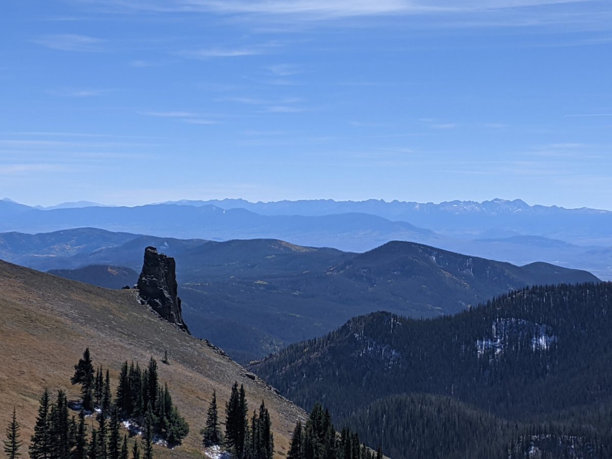
Right off the bat, I was climbing. It took an hour to do the first mile and a quarter up to the ridge. Then things opened up and the views started. It was a clear temperate day and the whole early part of the afternoon was walking along the exposed ridgeline with excellent views. I could even see part of the trail I had skipped the previous evening (I posted this view on yesterday’s post.) Eventually, the trail did dive back into the trees, descending to Troublesome Pass and around Haystack Mountain to the best water source I saw all day.
By this time it was already 6PM, so I stopped to put on long johns and a headlamp, ate a snack, grabbed some water, and planned to hike late to make up for getting up late. It was only 4.5 miles to my destination, but it was also over 2500 feet UP.
The first 2 miles from the stream were a reasonably steep but not painfully so climb up to a ridge, about 1250 feet. There were some annoying blowdowns in the forested part, but once I got above treeline, it was no problem. There were switchbacks and everything.
Then I walked along the ridge for a mile and a third. Slight ups and downs, but nothing steep. I got a break here to just enjoy the moon rising. There was a cool wind but it wasn’t that intense yet.
The last mile up to the top, though, was a monster. Almost 1200 feet of climb to the top of Parkview Mountain in that mile. I’m pretty sure that mile is the length of the trail’s projection into a horizontal plane because it took two straight hours of nonstop climbing to get up.
Parts of it there were no trail for. There were some posts marking a route, but they were far enough apart I couldn’t see them in the dark. So I was just finding my own way up to the ridge avoiding the snow patches. I always had a bit of guidance from someone whose shoe prints I’d been following all day that had taken a similar route, but they were avoiding the snow also.
Even once I gained the ridge, along which the trail simply climbed straight toward the peak and for which the way up was least steep, it was still incredibly steep. I stopped to take frequent leg and breath recovery breaks, but I still felt like I was making good time despite the intensity of the climb.
The cold wind picked up as I got higher. It was never so strong that I needed to lean into it, but it was cold and continuous enough to chill my fingertips. The extra layers and demanding workout kept the rest of me warm enough that the wind was actually a welcome rapid cooling system when I stopped.
It was before 11 when I arrived at the shelter at the peak, and I was disappointed to find a pair of trekking poles outside the door. I had hoped my advance guard had been further ahead than this so that I would not have to do what followed.
I turned my headlamp brightness down to the lowest setting and pushed. The door squeaked open, and a body in a sleeping bag leaped into a sitting position like someone in a bad movie waking from a nightmare. I apologized and went to hanging my water to filter and making my bed as quietly as possible. It was still after midnight by the time I had cooked and eaten dinner and stowed the water filter for sleep. And less than four hours later, I woke up, tossing and turning and sleeping only fitfully from then on.
Trail miles: 15.2
Distance to Grand Lake: 49.4 miles

Note how the edge of the unmelted snow perfectly limns the tree’s shadow. I saw this all morning. 


Haystack Mountain 


Just gaining the ridge 
Parkview Mountain (the climb ahead)