My morning went basically the same as the previous. Up and out of camp by 7:20 or so. Another sunny clear day.
The trail down from Seven Lakes was much clearer of blowdowns than the pervious section. It got steep and rocky in places, but it also admitted several nice views. I also passed the Big Creek Falls, which weren’t beautiful, but it’s been a while since I passed a waterfall.
When I finally got to Upper Big Creek Lake, the trail kind of evaporated among blowdowns again. I ended up hiking through a wet meadow, briefly finding the trail again, taking a snack break, then joining a wrong trail, crossing the creek that connects the lakes, taking a turn down a clear, maintained trail that just dead-ended at the upper lake, backtracking to find that the trail on the map was lost in a field overgrown by bushes, wending my way through a wet meadow again, following critter tracks between the bushes, finding a trail again, climbing a steep hill to the foundation of a collapsed house overlooking the lower lake, finding a trail that got eaten by blowdowns again, walking along the rocky shore of the lake past a few cabins that seemed to be well-used until that was blocked, then finding the overgrown blowdown-covered trail again until it cleared up somewhat and eventually reached a road. It was a bit of a mess. It took a while.
But just up the road was Big Creek Campground, and that had toilets and dumpsters, so I was able to lighten my load and lighten my load. It also had picnic tables of which one I commandeered to make and eat lunch. Finally, I grabbed some water from the outlet river and hiked south on the road.
After a few miles on the road it ended, and the Grizzly-Helena ATV track began. I was feeling a bit lightheaded by the time I started down the freshly built boardwalk bridge. As soon as I got back into some trees again, I stopped for a snack and filtered some water to immediately drink a liter.
The track was frequently swamped with water. Deep fords are no problem for the bow hunters riding in on ATVs and fat tire bikes. One such hunter even offered me a ride across when I stopped him to ask which way to go at a fork in the road (except that I had already crossed and wasn’t going that way). Those frequent fords would be ankle-deep for me if I didn’t find a way around. Fortunately, even the widest ones had been bridged nearby by logs or strategically placed trees. Also, because the wilderness boundary was drawn to be just slightly west of the road (so that the road would be outside the wilderness and motor vehicles could use it), there was no issue with regular maintenance of the road via chainsaw. As such, I never had to worry about blowdowns.
A few miles later, I stopped for supper and filtered the rest of the water. I was passed several times by traffic on the road, including a whole troop of hunters on fat tire bikes. Just beyond where I stopped, the trail snaked between a number of lily pad ponds as it climbed into the hills. I found the bicycle troop prepping in front of a gorgeous sunset view.
I kept hiking up and up and up as the sun disappeared and even into the night. Every time I came close to a creek, I found a hunting camp. Several tents and an ATV parked nearby. One was even running a generator. Some of these hunters were practically glamping.
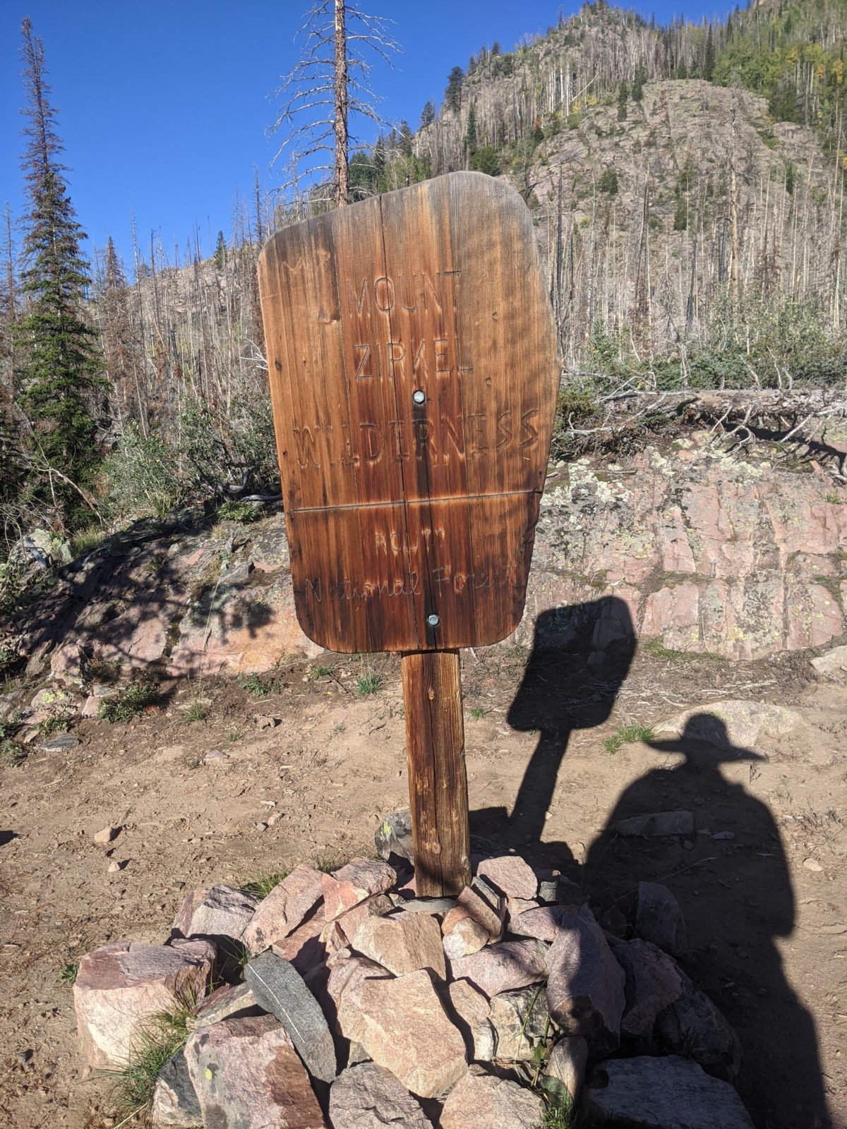
I climbed higher and higher onto the slopes leading up to the Fryingpan Basin below Mt. Zirkel. The occasional hilltop would reveal distant city lights beyond the hills in the valley below (and their attendant strong cell service I took advantage of to nab some missing map tiles and new podcasts). Eventually, late into the 8 o’clock hour, I found a broad, flat campsite that was somehow completely unoccupied. So I took it. Close to 9 seemed like a good time to stop hiking from here forward as I never seemed to be able to wake up before 5 these days, and the days were not particularly hot anymore. Sleep came shortly after 10.
Trail miles: 14.8 (but actually hiked 16.9)
Distance to Steamboat Springs: ~54 miles


2 replies on “Day 130: Grizzly-Helena Trail east of Blue Lake”
David, I look forward to reading your posts everyday. My perception of the Continental Divide was that it ran along mountain ridges. Does the trail follow this “divide” from which streams and rivers drain eastward and westward?
Yes exactly. It stays as near the divide as it can.