I slept in again after waking up because of how late I had gotten to bed. I was packing up in the 9 o’clock hour this time. I found the pond I had camped near and pulled a bag of water out of it. It wasn’t much and there was nowhere to hang it to filter, so I hiked out after 10 with an empty water bladder, a 3/4 full dirty reservoir, and a Nalgene full of breakfast smoothie.
It was all road walking for the first couple of hours, and mostly uphill to cross the divide at Bridger Pass. This was the strangest “pass” I’ve ever gone over, as it was more like the top of a hill in the middle of a wide valley than a low point in a ridgeline. I took a midday break just after this when I passed a row of tall bushes just off the road. I had a nice little break in the shade and could filter the water I had carried out of camp hanging it from a bush.
More roadwalking ensued. I reached the first bridge over Muddy Creek around 3, which was a good time for lunch given my late start. I kicked the cows out from under the bridge and took over. Firstly, I had already drank all the water from the morning, so I needed that creek water. In spite of the name, the creek was more silty than muddy, and it filtered clear without clogging my filter. An hour later, I was procrastinating getting started again when a couple of hikers came over the bridge above me yelling about how the water looked good. I decided to catch them up and find out if I knew them.
I packed up and chased them for nearly 2 miles, catching them when they stopped for a break at the next bridge over the creek. They were Jennifer and Deluxe. I had not met them before as they had been hiking behind me. I told them about my immediate shortcut plans and passed them by.
In another couple of miles, I crossed the last Muddy Creek bridge, then took a hard left off the trail and onto a well-worn cow track. This was straight-up trespass, but it was an opportunity to cut 3 miles off of the trail while also getting out of a boring roadwalk with lots of hill climbs.
The first little bit was tricky. Once I got around the hill the road had opted to climb, I had to jump across the river in its ravine, step over a cow fence at the one spot (in the river ravine) where it wasn’t barbed, jump back over the river to be able to easily follow it upstream to where I needed to leave it, jump back over it (the hardest trick because its ravine was some 7 feet deep here, so I needed to find a spot where I could climb down, jump over, and climb back out again all without getting my feet wet), then finally set out overland toward the draw I wanted to climb and the stream that flowed out of it.
The stream was easily spotted by a dense patch of tall bushes it ran beside. I saw them and decided it was supper time. I didn’t think it likely I’d find as shady a spot for some time. I was only half right about that. I took an hour on the ground hidden in the bushes to get through dinner, then hiked up the draw filtering the stream.
This was an easy cross-country jaunt. I could walk right next to the stream when the sagebrush got too thick, or I could take a direct route straight over the flatter, clearer sections. Sometimes, I could just follow cow tracks and not think. One place, the stream got shallow and wide enough to dunk my sleeves in. It was nearly 7, but it was still pretty warm out.
Eventually, I reached a bridge and another fence. This one had a metal gate. It was chained and locked shut, but I could pull it open enough to squeeze through and step over the chain.
And now I was on a nice, clear two-track road and would be until I had climbed out of the draw and crossed to the road the CDT followed again. It was easy, smooth sailing. Without it, I still would have saved some time over taking the official road, but with it, I could save a lot of time. And this road went through some of the best looking areas I’d seen in the basin. There were a couple of actual trees and a number of excellent camp sites if I had the gall to camp overnight on private land.
I should mention that every little bit of this detour involved cows. Constant cow encounters. But this last little bit was the only part with cows that actually came up behind me and got closer as I passed. Not stalking close, but maybe standing guard close? Every earlier and later encounter, they just scattered at my approach.
Anyway, it was pretty dark by the time I reached the main road and the CDT, about 8:20, so I stopped to put on my headlamp. I had another half mile to go to the piped spring, which I reached about 8:40. But not before meeting a late night porcupine up close.
I dropped my pack in a nice sheltered campsite and took my water bag into the spring enclosure to collect some of the best water anywhere in the basin. It could filter while I set up camp and while I slept. It wasn’t a cold night, so I left it hanging from the bush all night. I was in bed by 9:30 and off to sleep an hour later. No excuse for sleeping in until 8 the next morning.
Trail miles: 20.1 (only about 17 walked)
Distance to Encampment: 38.5 miles


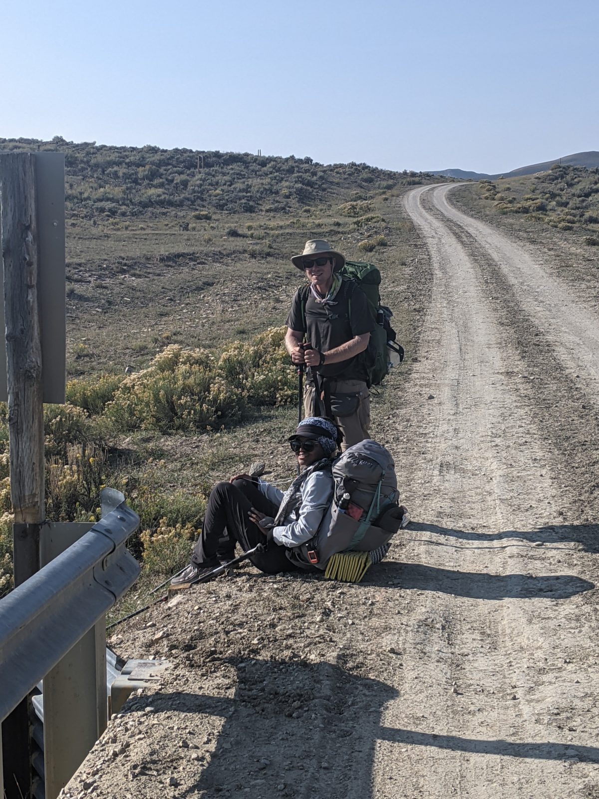
Jennifer and Deluxe, hiking partners since Glacier 
best water I saw all day 

actual trees! 

good campsite if only it weren’t on private land 


