Not too much interesting happened about this one, but I’ll lay it out in excruciating detail anyway.
Started hiking at 7, after trying some new tricks regarding heel blisters. A bit of slip and a splash while making breakfast resulted in the loss of a small amount of smoothie powder and water, but not enough to cry about. It did get all over the side of my bear can, but I’ve not yet had the chance and extra water to clean it.
The first part was just following an ATV track on gently rolling ridgelines alongside barbed wire fences and occasionally through gates conveniently hung between adjacent trees.
I pulled up under a shade tree at 9 for a snack and at noon for lunch. Both times, I filtered some 20 ounces of water from my dirty reservoir, leaving my water bag alone to get me through the rest of the day.
Right after lunch was a monstrous steep climb followed immediately by another twice as long. It went straight up a hillside, barely switchbacking, then turned slightly and went straight up again. It was midday and blazing hot with not nearly enough breeze. I made it by pushing for 100 feet or so to the next shady spot and stopping to cool off and catch my breath until the flies caught up to me and started buzzing around my head and legs to urge me onwards again.
The descent after that seemingly pointless hill climb (what views?) was equally steep and quite hard on the knees.
Having accomplished that, I crawled up under another tree, put on my headnet, draped a towel over my knees, and just lay there for an hour while the flies buzzed around me as they pleased. I didn’t really sleep, worried I might forget to keep hiking, but it did give the sun a chance to get lower and make more shade.
The trail was largely downhill for a while and not steep. I could zone out a bit as long as I followed it. It joined a road at one point, and I zoned out a bit too much, missing a turnoff. But a nearby sideroad connected back up after just climbing a small hill. Then there was another long climb. Not as steep as the afternoon ones–it had proper switchbacks. It got me up high enough to feel a proper breeze and see the sky had gone hazy for miles around. The breeze had brought in smoke from one of the wildfires around, perhaps the one near a bit of trail I’d already done by Silver City.
I stopped halfway up the hill because it was dinner time and there was a shady tree. It turned out the area was owned by ants, but they weren’t the biting kind, so I stuck it out with them until dinner was done.
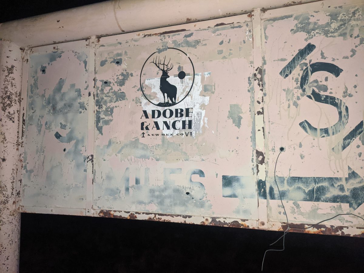
One more little short climb put me up on a long, narrow mesa. After a mile, I went through a gate onto an easement through the Adobe Ranch property. It was just a flat dirt track stretching away as the surrounding prairie rose up to meet the mesa. It definitely looked like a ranch should. It put the “range” in “home on the range.”
After going down the road awhile, I checked the map and saw the trail had left the road a quarter mile back. I had seen nothing indicating a turn. I went back to the spot, and there was a signpost marker there with just the CDT logo and no other indication. There was no track there either. It would be easy to think, as I did, that it was just another “You’re on the right road!” confidence marker.
But if you stopped and looked out into the grass behind it, you could see another marker, and another one beyond that. And further ones were obscured by trees or by having to look directly into the setting sun for them.
Again, there was no track. It was all just “hunt for the signpost.” At one point, there stopped being trees altogether. And yet I could not see the next post. (It had fallen.) But the last two posts had me aimed at the sun, so I just kept walking at the sun until another post turned up.
The sun finally set, which was my usual stopping time. I didn’t want to camp in the middle of this open prairie on this ranch, so I kept chasing markers by the remaining light. I would stop if it got too dark to follow the trail.
But before it got too dark, the trail dropped into a low area and started following a cow track. Much easier to follow than the signs. After a few miles and a great loss of light, the cow track joined another dirt road.
“Great!” I thought. “This road will lead me right off of the ranch and out to county road 136, where there may still be a water cache!”
Wrong. I checked the map a few minutes later and saw that I was way off course. The road that did that had forked off somewhere I didn’t see in the near dark, so I turned around and cut diagonally across the grass to intercept it. I found it a few minutes later, and it was a much bigger and better maintained road. I could walk it in the dark without even looking at it and not worry about tripping. So I looked at the constellations that were coming out.
A third of a mile later I was stepping over the front gate of the ranch. A small jog down the county road put me at the marker where the trail left it again. And under that marker, some water. Great! I was getting low, and it was still almost 8 miles to the next guaranteed water source.
I decided to pitch my tent beside the road in a little sandy dip some kind of offroad vehicle had made. When unpacking, I noticed my long handled spork had gotten bent again, this time to the point of breaking. I didn’t know how to go about fixing it or what I would eat dinner with, but I would figure it out later. It was already too late, and that cool night air that had been so pleasant to keep walking in was turning straight up cold. To bed!
Trail miles: 21.8
Tomorrow: Pelona Mountain!


